👉 Italiano

La Paz: the Slanted City
Are you a fan of animation or of fantasy fiction? Are you a
gamer? Don’t worry if you aren’t, even the real world may let
your imagination fly. Let’s hit the road, I’ll take you to La
Paz, Bolivia today.
Well, actually I don’t think La Paz is
a real place on the Earth. I mean, I have photos, memories and
everything, but I still cannot believe I’ve really been there
and that it wasn’t all my brain fabrication. In any case, I
think it’s worth narrating it.
Going back to the fictional works, I’ve always been fascinated
by the way they’re able to create different worlds in a very
sharp manner. For example, the city of orange sand, the town of
pyramids, the region of concrete, the country of talking
elephants and so on. All it’s focused on a specific feature and
everything else is left aside.
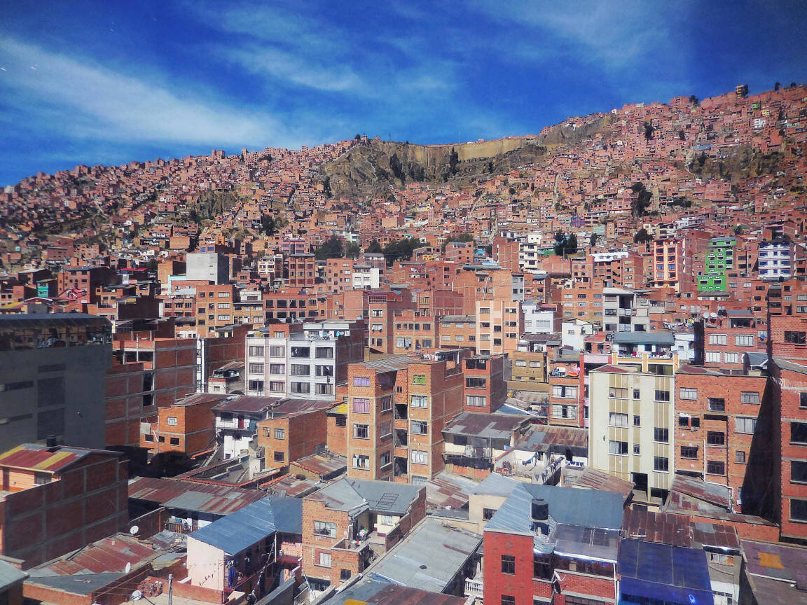
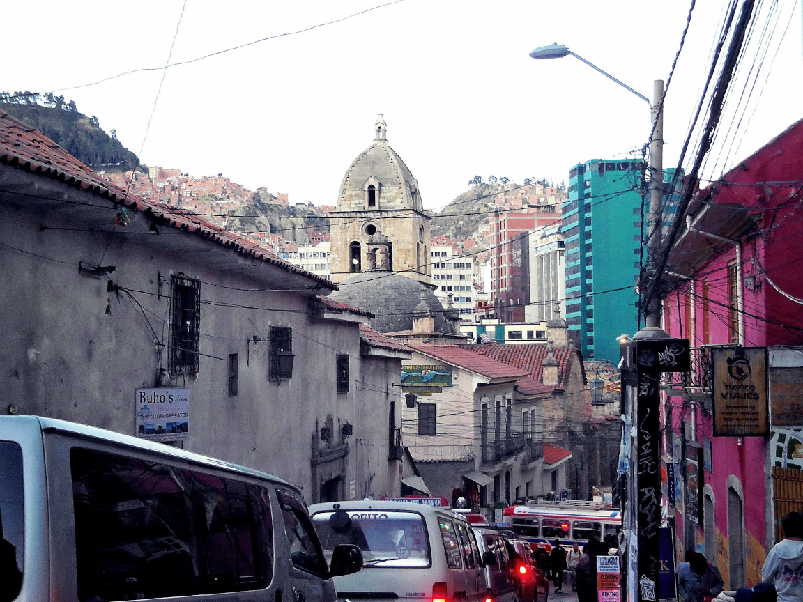
Having been in La Paz only for a couple
of days, I think I made a similar simplification. La Paz is for
me the “Slanted City”. Walking around — and please do it slowly
because 3600m of altitude can make you easily dizzy — you’re
almost surrounded by roads that go uphill or downhill. Yes, some
other cities may be like that too, but how many of them have a
complex cableway system instead of metro lines?
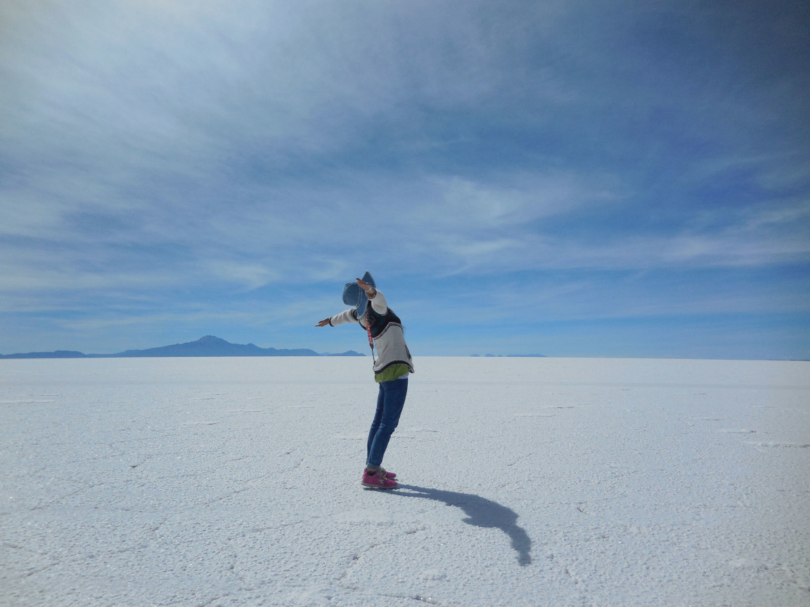
Originally my visit to Bolivia was
planned as a detour from my Peru trip. My goal was going to the
“Salar de Uyuni”, which is another great highlight of the
country (I talk about it here). In the beginning, La Paz was simply a convenient place
to visit along the itinerary. I honestly didn’t expect I could
be enchanted so much by it.
After a long bus trip from Puno, Peru,
my wife and I reached La Paz a bit before dusk: still in time
for a quick visit and a nice dinner. As soon as we arrived, we
understood how things work there: you need to go up, then down,
then maybe up again. While you just walk in a slow pace, kids on
the street will run to reach the football field or whatever
space lets them play: altitude means nothing to them.
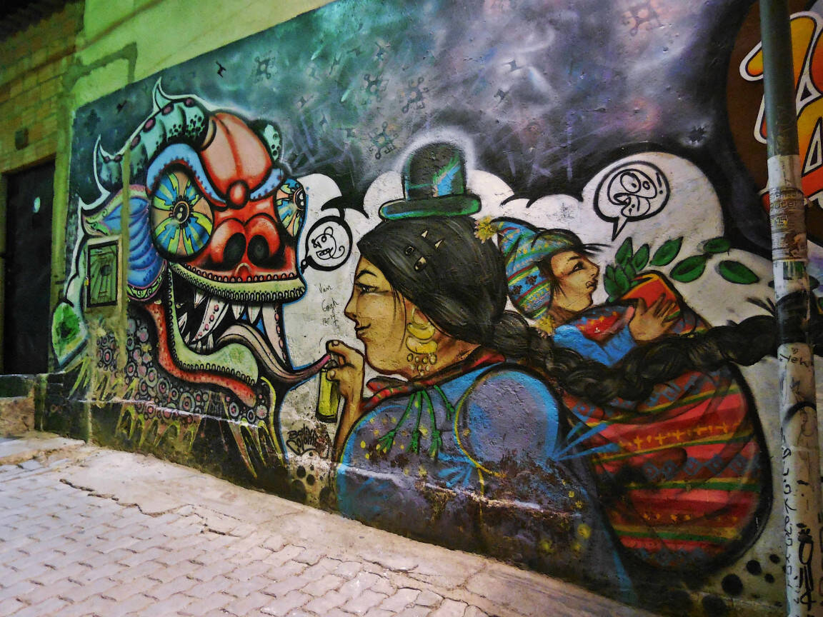
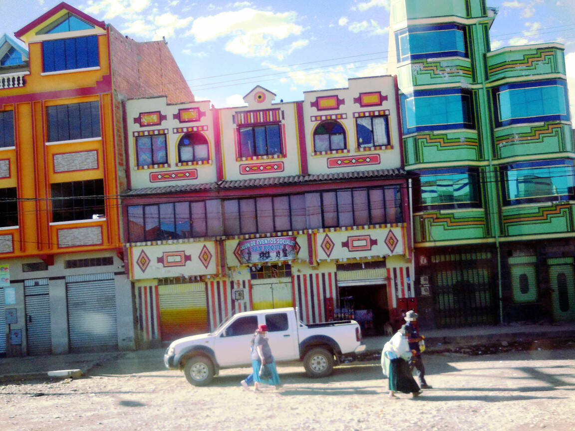
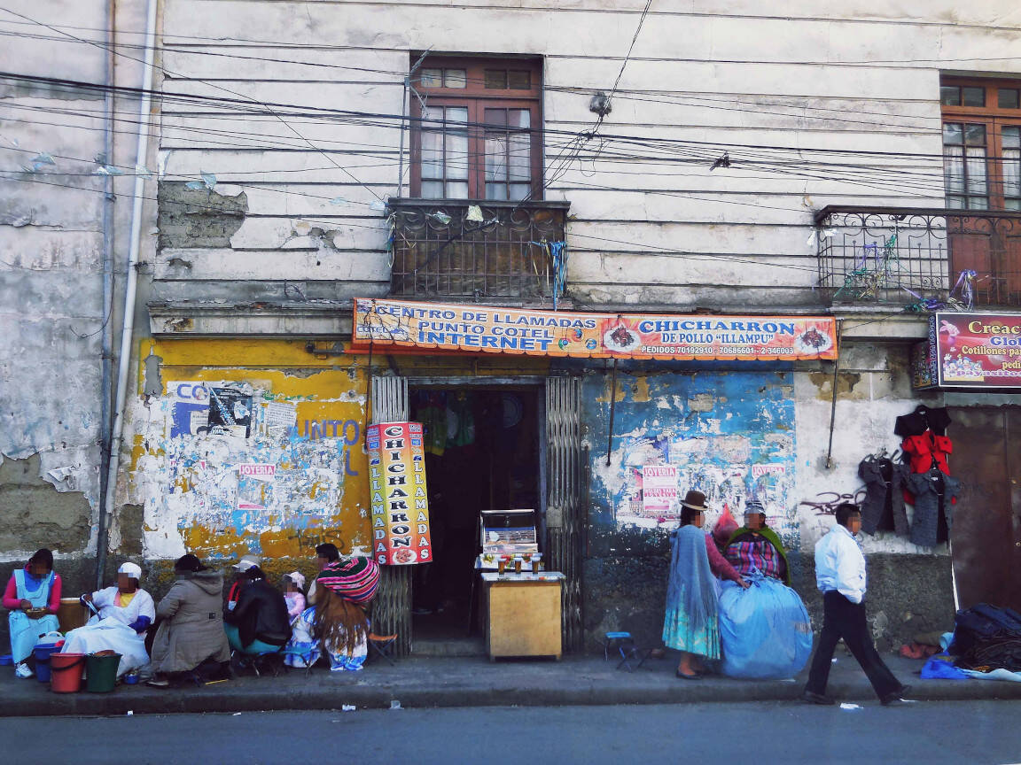
The city may appear a bit messy, okay,
but it’s incredibly gritty with stalls and street art. But it
wouldn’t be unreal if it was just about being slanted. Citizens
of Slanted City need to show a feature too.
Otherwise, a poor stray idler may think
he’s still awake and not daydreaming. So, I will say that the
inhabitants of Slanted City are called “Cholitas”. What
did you say? Are you objecting that Cholitas are only some
women, mainly elder ones, dressed in a colorful and traditional
clothing style? Well, you may be right, but I prefer to overlook
the remaining residents. Please let me keep dreaming and do
yourself a favor: dream along.
Are you ready? Then follow me. Let’s
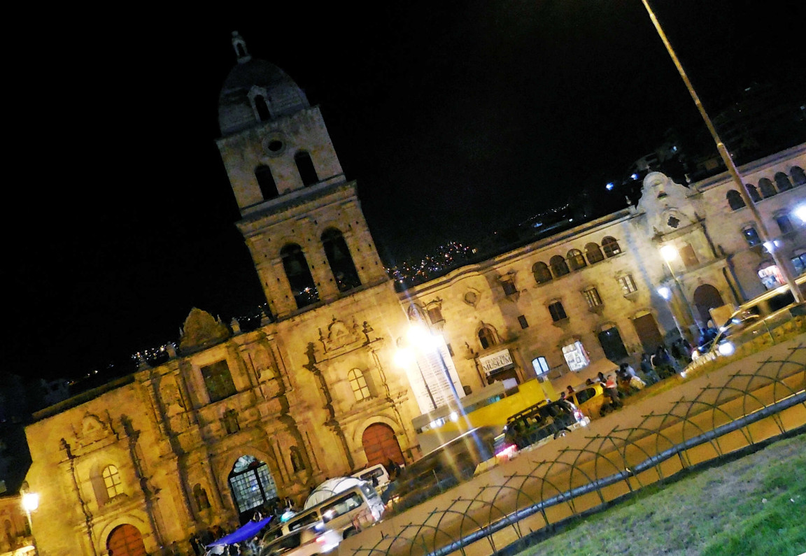
start from Murillo Square (Plaza Murillo) and get to
Saint Francis Church (Iglesia de San Francisco). Do you
prefer a plainer route? Take your time, but to reach the Witches
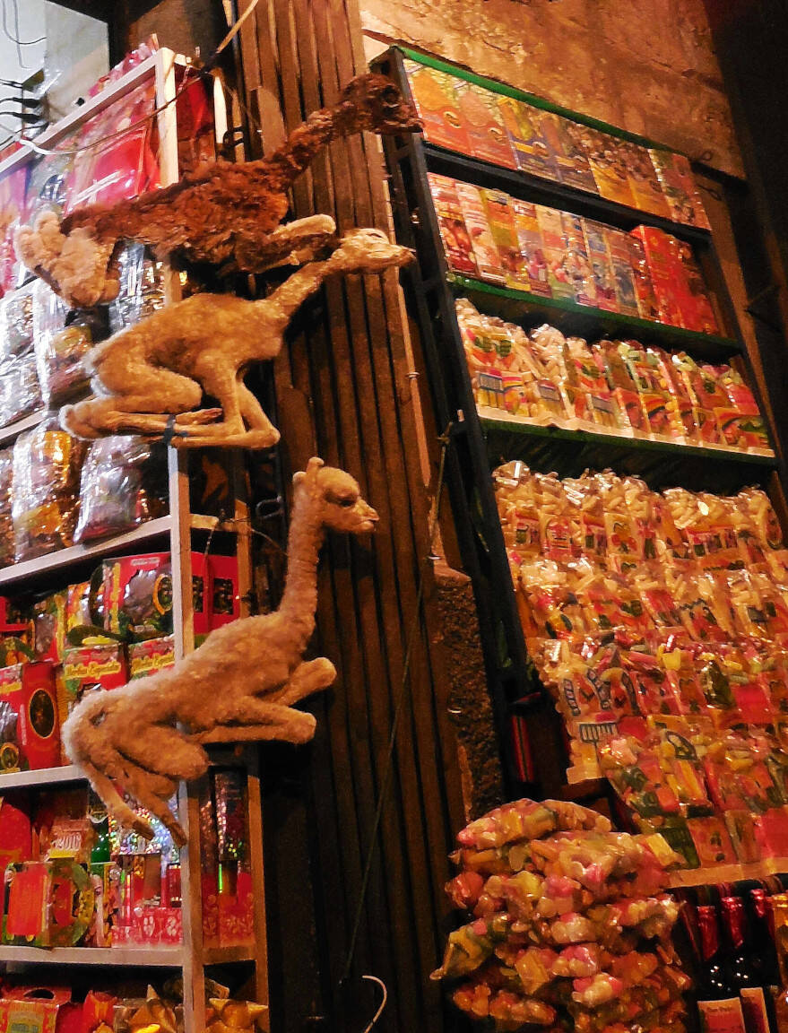
Market (Mercado de las Brujas) you will need to go up. If
you want to buy some potions, a dried frog or some other bizarre
things is up to you: I warned you already that this place is
located on another planet.
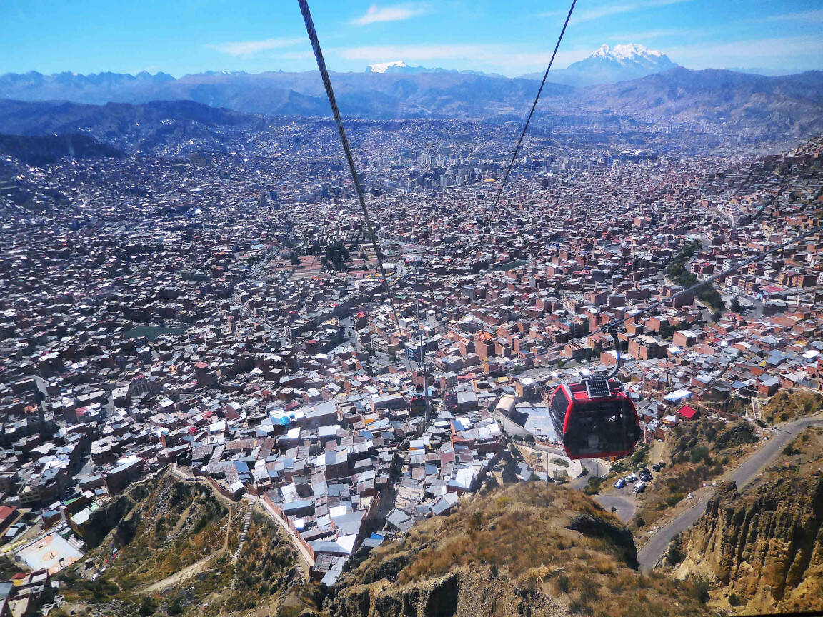
Are you tired already? Stay resolute,
we will keep going up. Let’s take the cableway (Mi Teleférico),
to reach El Alto. What’s the meaning of the name? Of
course, it means “The Height”, but also “The Halt”. I’ll take
both names, as it’s really worth getting up there and stop for a
few minutes to admire the view of La Paz city.
(Honestly, I felt a bit dizzy in the cableway, especially
getting back down to the city. Please evaluate if it’s a good
idea for you to take it. You can always reach the city of El
Alto by road.)
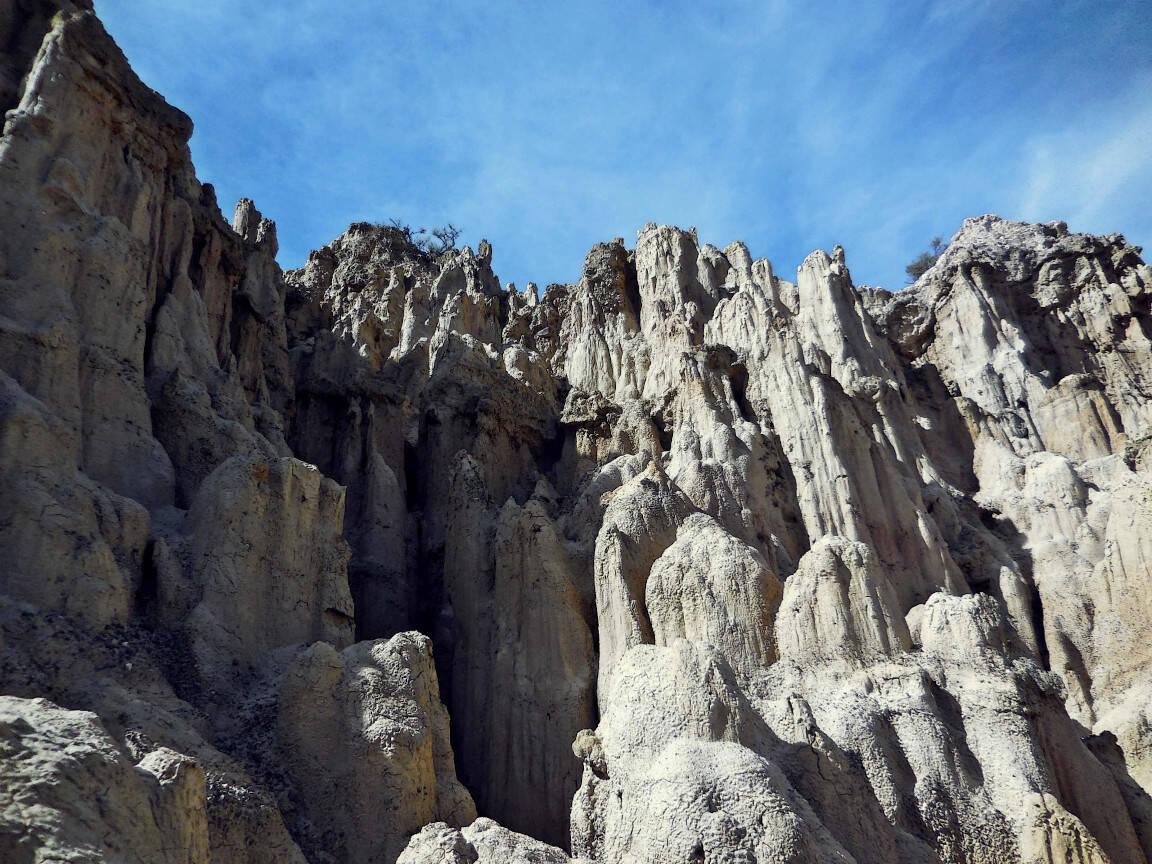
What’s left? Since we climbed so high,
why not pushing a bit more and start flying? No, I don’t mean to
grow wings and fly: but we can take a crowded “colectivo”
(shared taxi or minibus) to float to the “Valle de la Luna”
(Moon Valley). It’s an intriguing area, with many canyons
and spires, whose landscapes resemble the ones on the moon,
hence the name.
Now that you’ve been fairly inebriated, take a rest. Let
your brain relax and try to convince yourself that it wasn’t
just a rash of imagination. It was all real. Or maybe not?
Some additional information:
- despite being the city where the Bolivian government is
located, La Paz is not the capital city (the official one is
Sucre). It is served by the international airport of El Alto,
which is the highest international airport in the world.
International connections are mainly towards other South
American destinations.
- Another common way to reach La Paz (as I did) is taking a
detour from Puno, within a Peru itinerary. Bus companies serve
the route, you will need to cross the border by land.
Interesting sites around La Paz:
- the already mentioned “Valle de La Luna” (Moon Valley),
around 10km south from La Paz. Besides taxi and shared taxi,
there are also guided tours from the city.
- Tiwanaku, a Pre-Columbian archaeological site and
UNESCO World Heritage site. It’s located 72 km west of La Paz.
You can get there by bus or booking a tour. Personally, I didn’t
visit this place, but I think it’s worth listing it.
You might also like: